
Blog
Keep up-to date with our latest news and events.


New update: RapidPlan and RapidPath 3.9
What’s new in this update? Predefined Styles Improvements: Predefined object styles can now automatically adjust scaled…
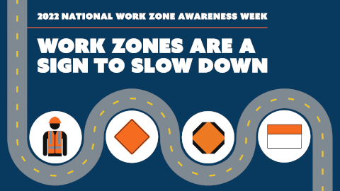
National Work Zone Awareness Week 2022
The 2022 National Work Zone Awareness Week (NWZAW) kicks off across the United States next…

American Jobs Plan to benefit the traffic control plan industry
In the United States, Congress recently passed the Bipartisan Infrastructure Deal, which is the largest…
New update: RapidPlan 3.8
What’s new in this update? Google Maps Support: Pick from one of 3 options: Satellite…

5 Ways RapidPlan Can Help Improve Your Traffic Control Plans
Improving work zone safety on busy roadways filled with construction workers, heavy equipment, pedestrians, cyclists,…

National Work Zone Awareness Week 2021
The 2021 National Work Zone Awareness Week (NWZAW) kicks off across the United States next…